8 November 2023
Highest around
Mount Takanawa from Iyo-Hojo station
Naturally when you go to a place you have never been to before, the first thing you do is scroll the map and find the highest mountain possible to get to on a day trip. From Matsuyama that is Mount Takanawa, which I believe is the highest mountain within the city limits of Matsuyama. It is not very high at just under 1000m, but if you start the hike from Iyo-Hojo station as I did, then you are starting at sea level, and it is just over a 22km round trip... so longer than a half marathon. But first, I had to get to it.
First of all, the JR station in Matsuyama is about a 30 minute walk from the main part of the city, so factor that in. For me I went through the castle park, inside the moat, more on the castle tomorrow.
Once I was on the train, it was only about 25 minutes north to my desired station, and my train was full of school kids, and then at least 10 transit cops got on board, and eye balled every male student on the train while taking notes and comparing to what I presume were photos on their phones. Then we all got off at Iyo-Hojo and there were a bunch more cops waiting outside the station. So I assume some kind of groping incident had ensued.
From the station it is about an hour run/walk to the actual start of the trail, which is in the middle of nowhere, but the walk through the small city and farms has a good footpath and goes right past a convenience store for water and supplies.
Once on the trail itself, it was very smooth, easy to make fast progress, almost no steps. I passed 2 other groups on the way up. There is a road up the back of the mountain so there were a few old folks on the summit checking out the view. As you shall see, despite the road the summit area is kind of unusual, there's a weather station, but they have erected a small tower to climb up and check the view and also keep an eye on the various phone antennas.
That's enough description. The important thing is I completed a good hike on Shikoku.
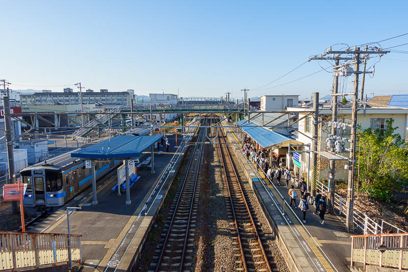
Here is Iyo-Hojo station. I waited for the cops to clear before exiting. Despite being a JR line, it is unclear if you can use an IC card. I had a train pass so did not need a ticket, but I saw no card readers, and there were conductors on the train collecting cash. Weird.
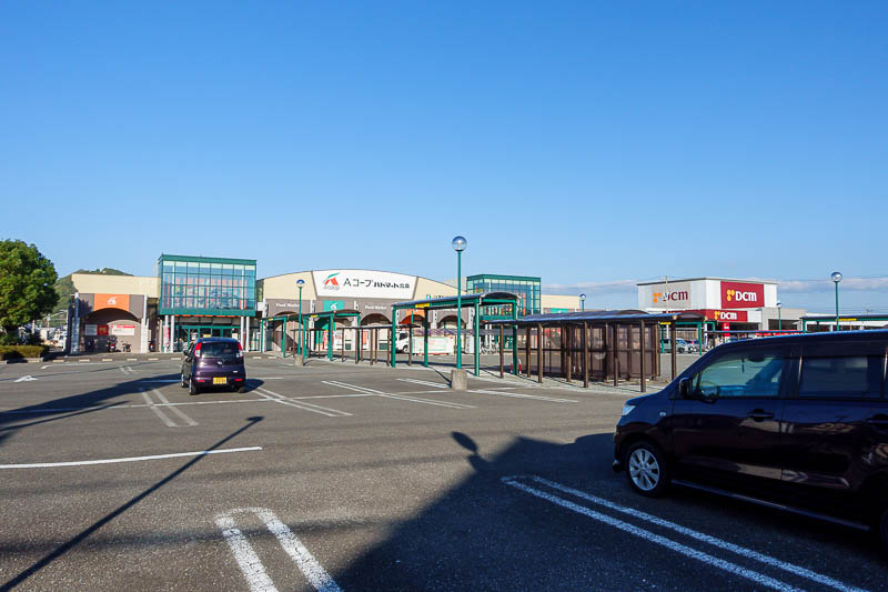
The station is near a supermarket, but it was not open yet. Not to worry, I would soon pass a Lawson's to buy water and calorie mate (my hiking food of choice).
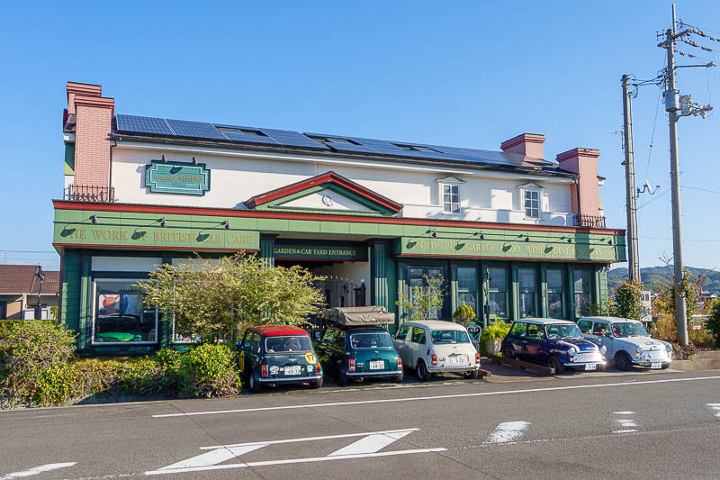
In the middle of some farmers fields, an English pub, garage, museum. Also weird.
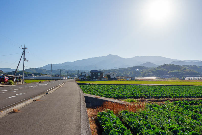
My journey up the road to that mountain had me staring directly into the heart of the sun. My camera really struggled with setting exposure levels today.
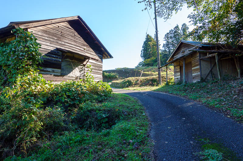
After leaving the main road I had to pass some spooky rape shacks.
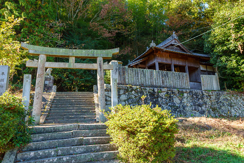
The trail starts here, but you go left past the shrine. Allow me to help.... 33.95924056882182, 132.8163932702691
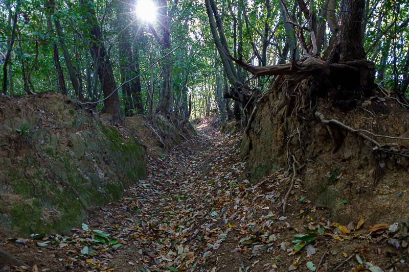
Much of the trail was in these mini canyons, suggesting it is a very old route. No cobwebs today, so the trail is in regular use, plus as I said I passed a couple of groups of old folks making a slow ascent, and then I passed them on my way down again. I am pretty certain when there's an old man with the group he likes to tell the ladies about the foolish foreigner who is going too fast who will not make it to the top. Wrong. Also I am probably as old as you are silly little old man. I just do not need an alpine suit, hiking poles and a stove. No really, I sense they are talking shit about me.
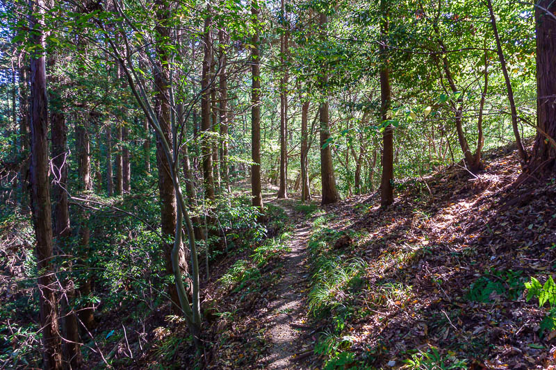
Not too many view spots on the hike today, but when the sun broke through it was very nice.
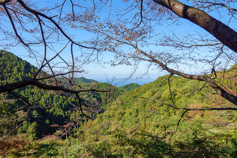
Here is a view, squint and you can see the ocean.
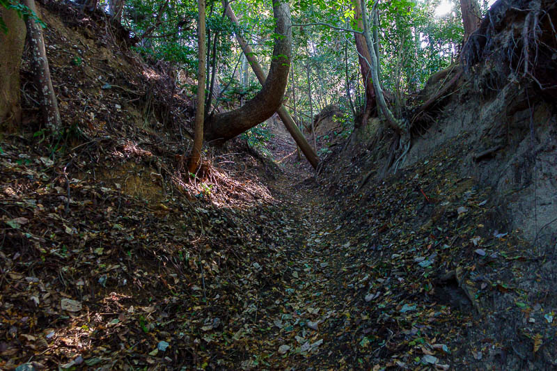
Some parts were very dark and mysterious. Darker than the photo would have you believe.
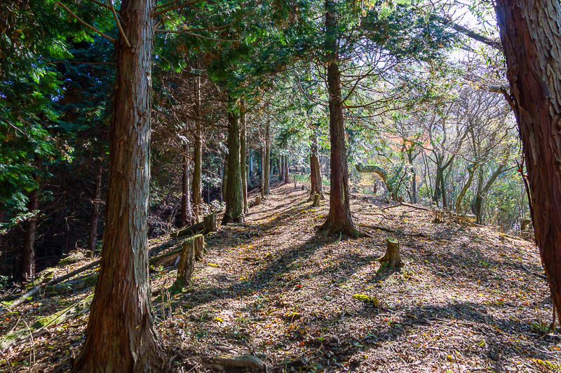
The trail was almost always smooth though, I did a lot of running today.
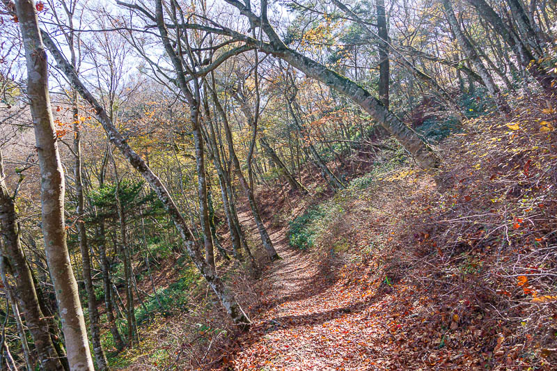
Near the top, and it is time for a bit of colour!
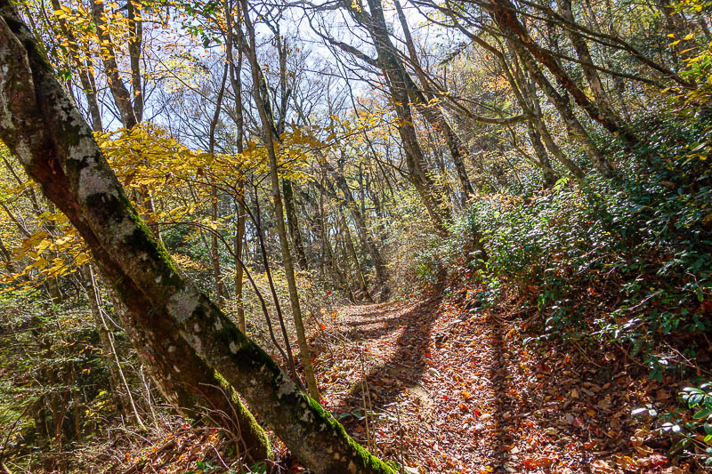
Very good colour, with mossy trees.
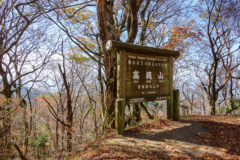
The summit marker is below the summit. At first I thought the weather station would be fenced off and there would be no view, but I could hear people talking.
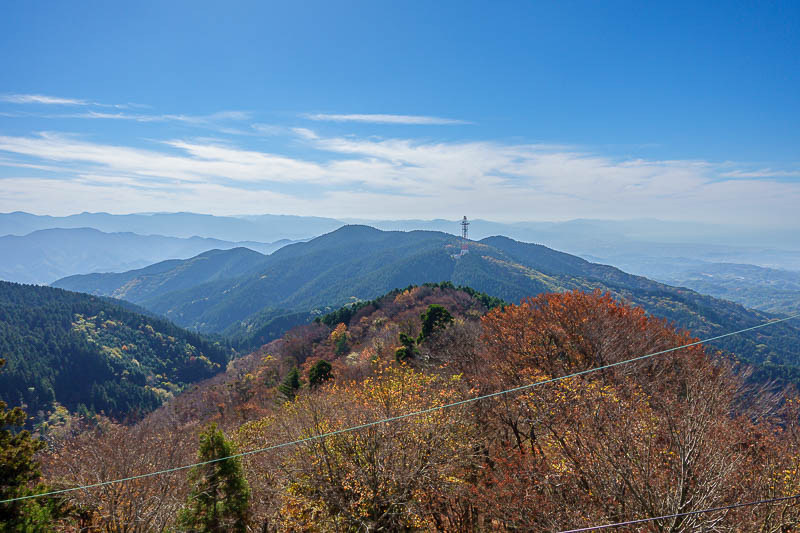
You can climb up a metal platform for a view, ruined by a wire.
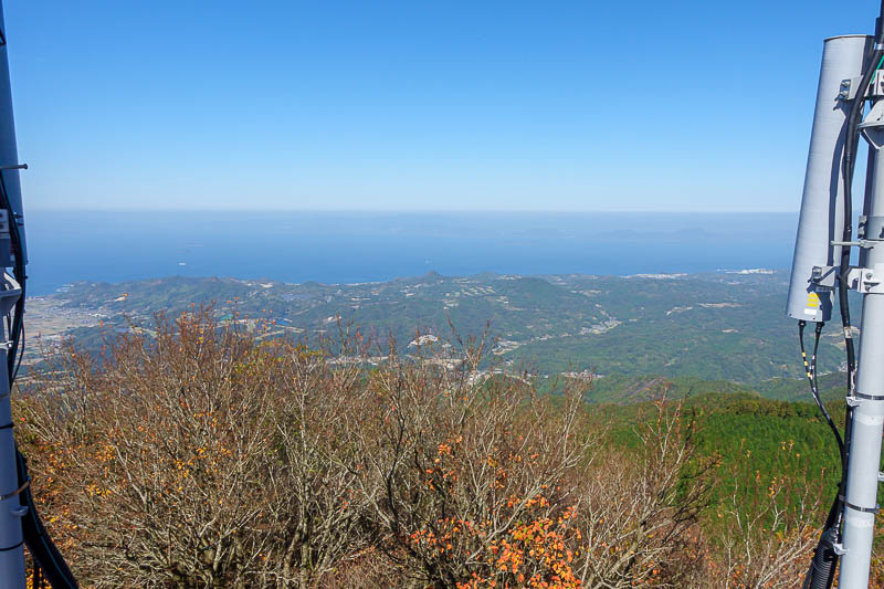
As you can see, the view is between mobile phone base stations.
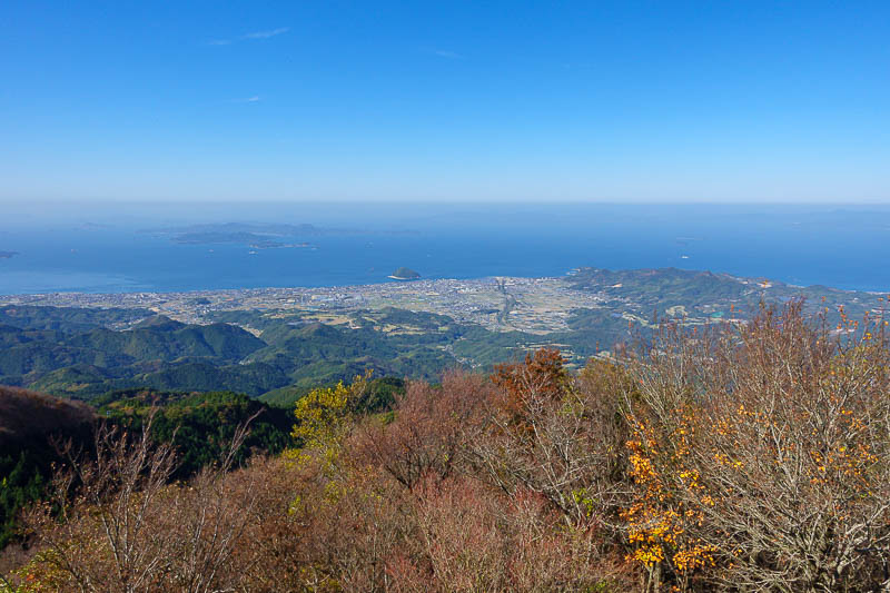
Down there is Iyo-Hojo, the station is right by that little bump of an island just off the coast. You will see it again below.
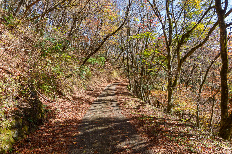
The very last bit of the hike joins the one lane road, apparently popular with cyclists although I saw none today. On the way down it seemed nice and colourful, so why not another leaf shot featuring a road.
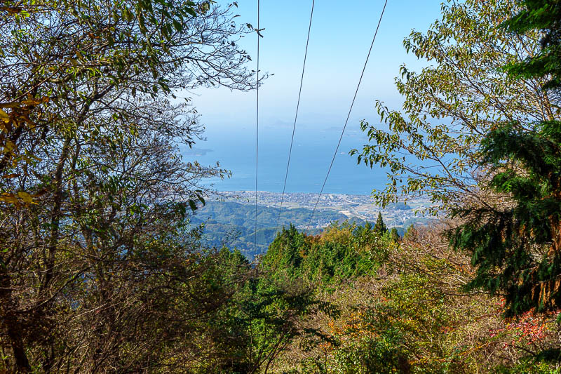
I found another view spot on the way down, featuring wires.
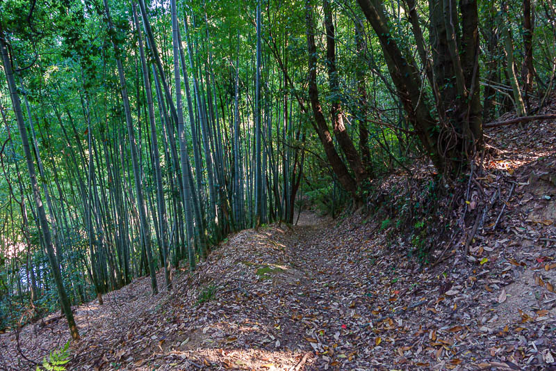
After a very rapid descent, the bamboo signals my pending exit from the trail back onto a road.
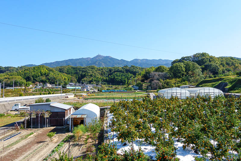
Looking back from where I had come down from, it looks a lot further than it is in this pic. The walk through the farming areas was very nice. Great weather again today.
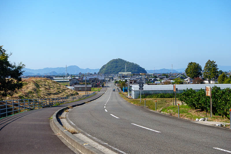
I still had to go all the way back to that strange island. Full zoom on this pic, it is actually about 3.5km away.
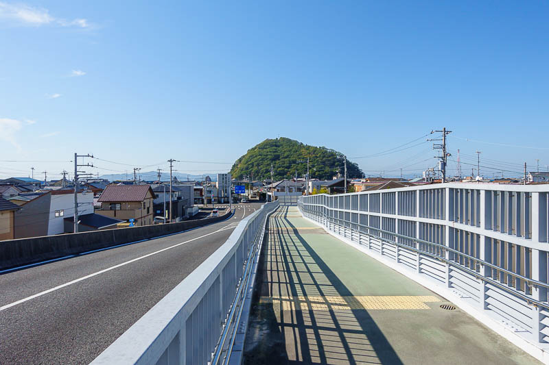
And for my final pic, I am crossing over the railroad tracks, one street back from the sea. I had no time to run down to the ocean to take a pic of that strange island as the train was coming and there would not be another one for another hour.
After more than 40,000 steps and a half marathon hike, tonight will be a short activity I am sure.